I looked up a few hikes to try while I was up in the "North Country," and picked out two that seemed particularly easy to access. Unfortunately, the directions and signage were less than stellar, and the trailheads were overgrown. The promised loops and views were nowhere to be found - very dissatisfying. But third time does for all, as they say, so instead of following the official narrative about how best to access the Stone Valley Cooperative Recreation Area trails, I followed the map.
I started at the intersection of Main St and River Street in Colton, NY. There was ample parking, just as promised on the map. And the trail was supposed to begin next to the dam.
There were no signs welcoming hikers or otherwise acknowledging the existence of a trail, so I walked a while on the road, up to the dam.
 |
| Barbed wire and a "NO MOTOR VEHICLES" sign. That's kind of promising, isn't it? |
But most likely there'd be a sign or a trail blaze or something at the end of the road to mark the trailhead, right? I had high hopes for the signs on the gate.
Instead, it turned out that these four signs provided no hint at all of a trail. I was particularly troubled by the "No Trespassing" sign, which seemed, somehow, let's say, a little less welcoming than it could have been. But perhaps I'm just a little over-sensitive.
 |
| "NO TRESPASSING" - just what you want to see at the start of a hike |
However, if you then turn 90 degrees to your right to face the tall fence, you can see two more signs. If you ignore the second "No Trespassing" sign (which is clearly intended only for the fenced-in area around the dam), there's sort of a reluctant indirect acknowledgement that there might be a hiking trail somewhere in the vicinity. This acknowledgment takes the form of a dire warning to "trail users" about the imminent death by drowning that may come upon you, should you happen to find a trail somewhere and follow it. Not that they're going to tell you where it is, mind you, because that's all on you, O Seeker of Danger.
 |
| "TRAIL USERS: WARNING!! DAM UPSTREAM Water level and flow on river can increase rapidly without warning Please stay on trail [if you can find it]." |

Well, they haven't put a barricade or locked door to keep me from going across the bridge, but what does that sign mean? Do they want me to stay off the pipeline by using the bridge to cross the pipeline? Or do they want me to stay off the pipeline by going straight ahead on the wide road next to the pipeline?
Still no indication that an official trail is in the offing in any particular direction, but I decided to cross the bridge rather than risking another repeat of a boring and ugly service road where I can be dive-bombed by pesky flies.
So I crossed the pipeline (via the bridge) and entered the woods. The ground was a little worn (kind of like a trail!), and I followed it in and then - after I turned the corner and lost sight of the bridge - finally, the official start of the trail!!!
In fact, a sign instructed me to sign the register so The Powers That Be could find out if I got washed away. (But I lifted the metal cover for the registry bin, and lo! it was empty!)
IMPORTANT NOTE to The Powers That Be: If you are reading this blog entry, let the record reflect that I survived the hike. kthanksbye
 |
| Official trail markers!! |
 |
| The new blaze seems to be slipped under the old one |
 |
| Sign down! |
And lots of signs warning me to stay out of the river bed. OK, got it. No place for a nap!
The mosquitos were out in single spies, not battalions, and were kind enough to stay away from my face and ears. So they weren't too terribly distracting, though I killed a few that tried to settle in for a good long feast on my legs.
 |
| Beautiful bright red fungi! |
 |
| Bright orange fungi |
 |
| The trail passes through mossy rocks |
 |
| the bright yellow didn't come through well in the picture |
 |
| two-tone fungus |
 |
| The path leadeth me beside still waters. |
 |
| A small square window into the heart of the tree stump? |
 |
| Outcropping of rock mid-river looked a bit like a diving platform |
 |
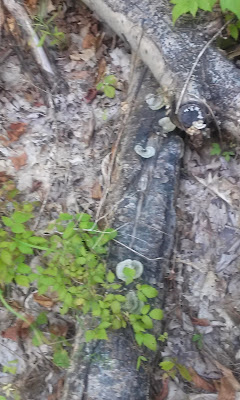
| An almost ethereal sprinkling of tiny mushrooms across several logs... |
 |
| ...Fungus City! |
 |
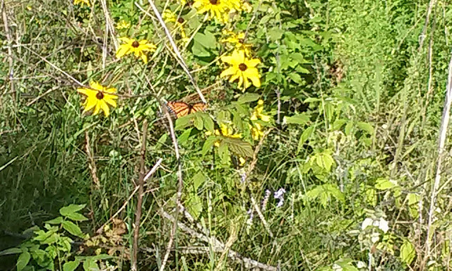
| Butterfly caught in mid-flight! |
I only wish I'd had a full day to go up and down the entire trail, both sides - and maybe some insect repellent as well, since I'm dreaming.
 |
| Daylilies along the river |


