N.B. This is one of four posts about my trip to Cornwall to walk a portion of the South West Coast Path.
In today's bright sunshine, the inaccessible beaches and turquoise waters looked like a tropical island paradise... as if this were indeed (as First Great Western would have it) the "
Cornish Riviera"!
 |
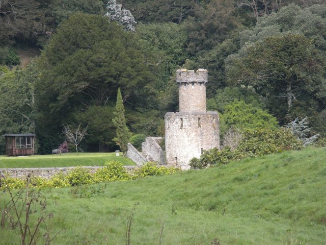
Just past this castle, we stopped at a beachside cafe for water and cold desserts by the seaside
-- and picked up cornish pasties for a picnic once we made the steepest ascent of the day. |
 |
| Nope, this wasn't the top. Keep climbing! |
 |
| I liked this stone formation. Could it be... a turtle in front of his computer? (Go Terps!) |
 |
| Almost at the top! |
 |
| We made it! Sarah takes a break in The Matrix |
 |
| A view down from the end of the headland |
 |
| Even in the hottest part of the day, on the highest part of the headland, dew drops linger on a spider's web. |
 |
| This one seems to show a tunnel for the spider - how cool is that? |
 |
X marks the spot for our picnic lunch.
The pasties were still hot. And delicious. |
 |
| Ho hum, another gorgeous but inaccessible beach. |
 |
Sarah kidded around that we would each end up eating our weight in blackberries.
I took this on as my personal mission. Hey, you need to have goals, right? |
 |
I was curious what kinds of birds or animals
live in these two holes in the cliff face. |
 |
| We crossed a few more pastures.... |
 |
| At last - Mevagissey! |
 |
| Working our way through the non-grid streets of the town. |
It was a long and challenging day in the hot sun. So when we got to Mevagissey, we could hardly wait to find our B&B.
We now know something we did not know before: On a walking holiday, before booking your accommodations, be sure to
inquire how many meters they are above sea level.
Yes, this turned out to be an extra climb up through the meandering streets, up, up, and up into the hills on the far side of town -- then after a wash and change of clothes, down, down, and down into the centre of town for dinner -- and then, you guessed it, the B&B sent a helicopter to collect us... No, gentle readers, I cannot lie to you. We had to re-climb the hill again after dinner to get to the B&B.
So, my pedometer clocked us at more than 16 miles for the day.
Fortunately, the dinner at
Roovray's was very nice (Algerian chicken ratatouille, plus we sat near the hikers we'd met before so got to chat a bit), and so were our accommodations. Zzzzzzzz.


2 comments:
Great Pics lady.
Is it not the Walruss or the Caterpillar from Alice at his computer??
Maybe sandpipers nest holes ??
See Sarah on steps of monument, in her pics is there a Pixie ??
Bill
Thanks, Bill! You could be right - and the Caterpillar would certainly be more local. Sarah and I were stymied in guessing what had created the holes, if you say sandpipers, that's good enough for me! I didn't see any pixies en route, so will decline comment on the issue. :) LLS
Post a Comment